1.Mineral survey, such as ironore, lead-zinc ore, copper ore
2.Mineral prospecting asmineral ore depth, orientation, continuity and ore shape, size andscale
3.Oil, natural gas survey,related geological structure
4.General survey, localsurvey and geological mapping
5.Base station for aerialor marine magnetic survey
6.Faultdetection
7. Archaeology
8. Hydrogeology
9. Engineering survey, suchas pipe prospecting
10. Monitoring earthquakeauspice, volcano and other environmental disasters.
11.Small ferromagneticmaterial prospecting.
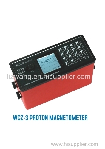
Technicalspecifications:
Channels | 1. channel(standardconfiguration, for separate gradient measurement) 2. channels(optional,for simultaneous gradient measurement) |
Measuringrange | 20,000nT ~ 100,000nT |
Accuracy | ±1nT |
Resolution | 0.1nT |
Gradientpermitted | ≤8,000nT/m |
Measuring speed | larger than 2s/reading |
Station measuring interval | 2~60s, optional |
Datastored | largethan 2 billion points readings, with power-off protection |
GPS Positioning accuracy | higher than 2.5m CEP |
LCDdisplay | 160×160,with backlight |
Keyboardinput | 16 keys |
Port | USBstandard serial port |
Powersource | Rechargeablelithium battery (for 4000 times reading), externalpower supply optional(12V) |
Consoledimension | 206mm× 85mm ×155mm |
Weight | 1.5Kg(including battery) |
Sensorsize | φ75mm×155mm |
Sensorweight | 0.8Kg |
Workingtemperature | -10°C~+50 °C |